Avalanche Terrain Exposure Scale
​
​
  • Home
Avalanche Terrain Exposure Scale
​
​

Risk Rated Routes

All Regions
Region
Skiing
Activity
Any caution rating
Caution rating

Computing trail risk ratings

Preparing avalanche ratings for catalog trails. This can take a minute the first time for a forecast date.

Computing trail risk ratings

Find routes on the map

Open the map to browse trails and see avalanche terrain and forecasts.

Open map explorer →

Build and analyze your own routes and trails

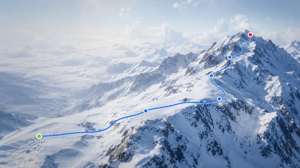
Draw a line on the map, review avalanche exposure along the path, and check conditions before you go.

  • Draw your route
  • Analyze avalanche exposure
  • Review conditions
Create a route plan →

Why these routes?

Chosen for lower avalanche terrain exposure and simpler slope angles based on current trail risk ratings.

Data sources

Avalanche Canada forecasts, ATES terrain data, and catalog trails maintained for this map.

Use responsibly

Always check the current forecast, carry rescue gear, and treat auto ATES as guidance—not a field assessment.